Monday, September 14, 2015

Tour of the West: How to Fly Your Truckster

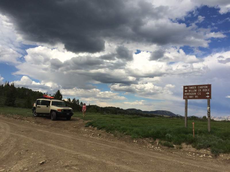
The truck deserves some credit, given that it carried us around for 17 days, covering approximately 3500 miles on a variety of surfaces and terrain.  It's a happy truck, handling all the occasional unexpected bumps.

Chad felt the need to acquire new emergency supplies and lash them to the top.  Included are gas cans (useful, given that we were spending a fair amount of time off in the backcountry), water containers (useful, given that some places we camped didn't have water), sand plates, and an absolutely enormous jack.   Just ridiculously enormous.  It was almost as long as the width of the truck. 

Why the long jack?  As insurance against bad luck on the inevitable dirt "shortcuts" we found ourselves magnetically attracted to.

We didn't actually *use* the jack because we didn't get stuck.  Chad claims we didn't get stuck because we were prepared for it.  Hmmm.  We did feel free to explore some neat roads out in the boonies, though.

Some would have been fine in a passenger car.

Some we were happy to have the 4WD.

One advantage of being on the dirt is you can pretty much stop for a snack wherever you want.

Chad found the only shade around for lunch one afternoon. (temperature about 105F)

Interesting clouds and a bit of rain blew in as we went over Soldier Pass.  Fortunately, the road we had to go back down in the wet wasn't in too bad of shape.
Heading into the three days of dirt backcountry exploration at the Grand Staircase - Escalante National Monument, our plan was to stop at the Big Water ranger station to get a map and updated conditions.  Alas, despite it being during official open hours, we were faced with this, instead of a useful ranger with updated conditions.

Chad called a ranger at one of the other ranger stations on the other side of the monument, and they had no idea why there was no one there.  This ranger also indicated that we couldn't possibly go in where we wanted to (up Smoky Mountain Road), as the storm earlier in the week had washed out part of the road.  

Meanwhile, we found a sign posted outside the building with updated conditions that seemed to indicate that Smoky Mountain Road (down at the bottom) was passable as of two days previous.

Hmmm.  Who to believe?  We decided that the sign had the updated info and headed into the monument.

Good choice, too.  Fairly early on, there were a couple of washes that had clearly been recently resculpted by a bulldozer left parked on the side of the road; the ranger at the farther-away station just didn't yet know that they had fixed it already.  We pressed on towards Kelly Grade.  The road looks pretty benign until you realize it is going to go right up that cliff ahead of you.

As an aside, I was amused to find this road this morning on a site called dangerousroads.org.  Some good pictures there too :)

The surrounding mountains lie over a coal deposit that has burned historically, thus the names Smoky Mountain and Burning Hills.

The climb up onto the Kaiparowits Plateau on Smoky Mountain Road is absolutely spectacular with views in many directions as you switchback your way up about 1200 feet of cliff face.

The picture looking back down doesn't really do it justice.

At one point, there was a large boulder in the road, but there was just enough space to squeeze around it.

The happy truck eventually found its way to a cozy camping spot near Harris Wash along Hole-in-the-Rock Road after making a slight detour into Escalante to get a camping permit, since the first ranger station had no one in it.

The side road to Harris Wash was quite benign in spots,

so Chad had Nimue steer from the passenger seat.  "Are you sure you trust me?" she asked.
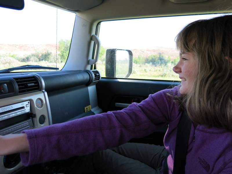
I had to read maps from the comfy seat next to the sleeping bags in the back.

When we hit small washes, Nimue amused herself by taking videos of the bumpy ride, even though it was pretty tame.


One just had to choose one's line carefully to avoid the soft sand at the edges of ruts.

Even after we left that area, we continued to find dirt for the rest of the trip.  It was surprising to see an actual road sign on the back way of the north edge of Death Valley! (Oh, no -- one must return to civilization...)


Thursday, September 10, 2015

Tour of the West: Ancestral Puebloan Structures

It is hot here this week, which reminds me of it being hot on vacation, which reminds me that I haven't finished subjecting you to vacation photos yet.  Here is the next installment: Cliff Dwellings.

We spent several days exploring the area around Mesa Verde in the middle of the trip.  Naturally, we started at Mesa Verde itself to get oriented and to allow Nim to see all the interpretive stuff in the visitors center.

View of the cliff (with a structure) cut into the cuesta.  A cuesta, we learned, is a tilted mesa, and the tilt to the south in this area allows for a nice long growing season up top.  Beans, corn, and squash were farmed up top with the help of water catchment and irrigation structures; houses were built into the protected shady alcoves in the cliffs.  Look carefully to spot the cliff dwelling

View of a cleaned-up and restored section of the Spruce Tree House.  You can see that the structure was several stories high (floors would have been where you can see remnants of beams sticking out of the walls).  Apparently all of the holes designed into the walls are doors, and not windows; it is thought that T-shaped gaps were doors to common spaces and rectangular ones led to more private spaces.

Kiva, or ceremonial space, also in the Spruce Tree House.

Some of the cliff dwellings in the park can only be seen on a guided tour, so to see the Balcony House we had to follow the crowd,

 but at least had an entertaining ranger dude for a guide.

There were ladders to climb

passageways to explore,

fun views into neighboring rooms,

and many places to pose.

You should really appreciate how hard it was to get those shots without having gajillions of other tourists in them; the big-name National Parks in the summer are busy, busy places.

By contrast, the next day, we headed into the Ute Tribal Park to see more cliff dwellings in an adjacent canyon.  This was a whole-day exploration; one is only allowed into this area in a small group with a Ute guide.  The structures are every bit as impressive as the neighboring ones in Mesa Verde, but without the crowds, and you get the added bonus of a native guide full of stories and different perspectives on what it is like to live in an area like this.

Up top, it was about 105 out.  Even though the flowers weren't wilting,

Nimue was.

One will note, however, that there are large trees down in the canyon, and the structures are cool and shaded.  There are seeps near most of the bigger houses, providing drinking water and evaporative cooling.


Once in the shade, Nimue perked up.  

Despite the heat up top, it was quite pleasant exploring the structures built into the shady alcoves on the cliffs.  One can see why it was an appealing place to build:  cool and shady in the summer and protected from the winds in the winter.

Note the delightful lack of crowds!  We got to poke around structures at four different sites along the cliff.  Here I am, having foraged on ahead,

looking back at Chad.  Parts of the ancient trail were not for the acrophobic.

Not being excessively bothered by heights, we enjoyed the ladders.


especially since they led to places like this.

There were artifacts lying around everywhere,

as well as interesting grooves and depressions for grinding and sharpening tools.

These grinding depressions have graffiti inscribed by the re-discoverers of the site in the 1890's.

Some parts of the structures were less consolidated than others; it is thought that the upper wall in this picture delineated a storage area, with the lower part being a dwelling.

One thing I was unaware of is that the interior walls were originally stuccoed, sometimes with decorative patterns.


Some of the kivas here had residual roof timbers.  In general, there is less restoration here than in the National Park, which somehow made the site seem much more real and less like Disneyland.

Rare shot of all three of us.

Our Ute guide.  He was full of myth, philosophy, and stories.  Despite the fact that the Ancestral Puebloans who built the structures were not his tribe's direct ancestors, he clearly had a lot of reverence for the people and the site.  At the end of the tour, he treated the group of us to a sung chant across the canyon.  Very cool.

As a side note, though many of us originally knew the people who built the cliff dwellings as the Anazazi, the word "anasazi" is actually a Navajo term meaning "ancient enemies".  Not the nicest way to refer to a people, and the term has generally been replaced by Ancestral Puebloan.

As we drove out of the area the following day, we stopped at the Anasazi Heritage Center (no name change there yet!) to get some maps of Canyon of the Ancients National Monument, a largely unexcavated region to the northwest of Mesa Verde.  Here we poked around and saw ancient structures built up on top of the plateau rather than down in the cliffs.

Art Nimue liked at the museum.

Lowry Pueblo.


I liked how little rocks were used to fill in spaces between the bigger rocks in some of the walls.

The Great Kiva at Lowry Pueblo.  This structure, at 47 feet in diameter, is quite a bit larger than most kivas, and was likely used as a gathering place for people from the entire region.  It has filled in with dirt and lost its roof, but was pretty cool nonetheless.

Painted Hand Pueblo.  We found a bunch of petroglyphs here in addition to remnants of round towers.


Square towers at neighboring Hovenweep National Monument.  This area is chock-full of archaeological sites well beyond the ones that everyone has heard of; we barely scratched the surface!