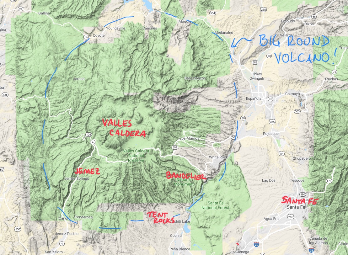
You'll notice the locations for the last couple of posts marked on the map above. This third day's exploration hits some other locations we saw on our way up to the Valles Caldera National Preserve.
The rocks were quite iron-rich and red as we headed up route 4 on the southwestern flank of the caldera.

On a whim, we stopped when we saw a sign for the Jemez historic site. This turned out to be an excellent stop, at the site of Gisewa, an ancestral village of the present Jemez Pueblo. At the site, there are ruins of the old village, a large kiva in good shape, and an old mission church, in addition to a small museum.
Unlike many kivas in the area, one is allowed to climb down into it. No photography allowed, as it is a sacred space, so I can't show it to you here, but the space had a quiet intensity to it.
Ruins of the old mission church from 1621.


Reddish ruins under a bright blue sky lead to too many pictures being taken.


I especially liked how the walls mimicked the red rocks on the hillside above.

Further up the road, there was a sign that said "Soda Dam". Of course we had to stop to see what that was about.

Given that we were on the edge of a large scale volcanic feature, it isn't surprising that there are hot springs in the area. Hot springs full of dissolved minerals, in this case. When the water reaches the surface, the dissolved material precipitates out and adds to the "dam".

Chad and I poked around for a few minutes while the kid took a nap in the truck.


(picture taken for us by random friendly tourist)

Our true destination of the day was the relatively new National Preserve in Valles Caldera itself. Since this is a new designation for the area, the trails aren't all open yet, but there was a small section near the visitor's center where we could poke around.
The center of the caldera is currently a flat grassland ringed by the caldera edge and full of wildlife,

though the prairie dogs were the only critters we saw that day.

This area is criss-crossed with dirt roads would be fantastic for bikepacking in the summer or cross-country skiing in the winter. It looks like both of these uses will be allowed once all the roads are open. It is also a most scenic spot for a picnic lunch.

There is a cluster of historic ranch cabins that date back to the early 1900's that apparently get used regularly as filming locations.

I was amused to note in the visitor's center that antlers have names for each of the specific tines. My mom clearly needs to know about these, given her history of daft arguments about two-and-a-half point deer.

The crater rim is 13.7 miles in diameter. Picture it as Crater Lake, but about twice as wide and with grass instead of water.

Also irises.

There are still a few trees about, but most of them were either clear-cut in the sixties or burnt in the fires of 2011 and 2013.


You would hardly know this peaceful scene is the center part of a volcano!

No comments:
Post a Comment