The first stop was Hole-in-the-Ground. This is a maar, or volcanic explosion crater, formed back in the Pleistocene when the area was a lake. Upwelling magma hit groundwater causing a steam explosion that blew out a circular crater. Our guidebook pointed out with great glee that the diameter of this feature is 1 mile, making the trail around the rim exactly π miles long.
I experimented with panorama mode on the phone, trying to get the whole thing in one shot. This particular shot would clearly be more successful from the air.
Of course, if you then forget your camera is in panorama mode and try to take a normal picture, you can get strange results.
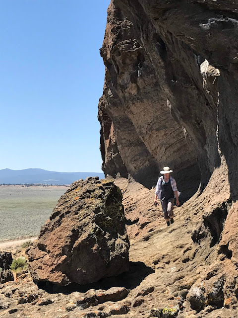
The second stop was Fort Rock. This is also a feature caused by the interaction of lava and the ancient lake, but this time the lava made it all the way to the wet lake bottom before exploding. Hot blobs of lava and ash were blown into the air, and rained back down to form a circular rung of tuff several hundred feet tall
You can definitely see terraces where waves at the original lake level eroded out some rock. When you look at the surrounding land, you realize that this had been a very big lake!
After those two sites, we hared off into the hinterlands and off of our guidebook to find Crack-in-the-Ground, a two-mile-long volcanic fissure caused by tension fracturing as a lava flow cooled. I found out about this obscurity when optimistically searching for information about slot canyons in the area -- none of those about, but Crack-in-the-Ground looked like it might *feel* like a slot canyon and thus was high on my mental list of places to check out.
Of course, we tried to find the back way through the maze of dirt roads. This was almost, but not quite successful, as after a certain point, what we were seeing on the ground did not match what was in the atlas. Most frustrating, because by this point, I knew we were only about a mile from the site as the crow flies, but all the things that looked like the road turned out to be dead-end stubs into cattle watering holes. In the end, we had to go back around on the main road. Ugh.
I looked at the satellite imagery on Google Maps after we got home, and it was clear that the main road goes through what in reality was a gated ranch. If one knew that ahead of time, there does appear to be a way to circumnavigate the ranch and get back on track, but we didn't know that, and at the time said circumnavigatory road appeared to be going in entirely the wrong direction based on the map, leading us to take a side road into the maze of cattle grazing areas.
At any rate, we did find our way there after taking the "main" way in through the town of Christmas Valley (very odd to be driving by Snowman Lane when it was over 90 degrees out!), and as I expected, the site was totally worth the trouble. A short hike from the road takes you to
a miles-long series of parallel cracks in the basalt that one can climb in and out of to explore. So much fun, and incidentally quite a bit cooler than on the surface!


No comments:
Post a Comment