The notion for our summer vacation this year was to do a road trip along the east side of the string of Cascade volcanoes up to my parents' house in Washington, camping, exploring, hiking, mountain biking, and caving along the way. As a starting overview, here are some of the mountains that kept peeking out at us from the horizon.
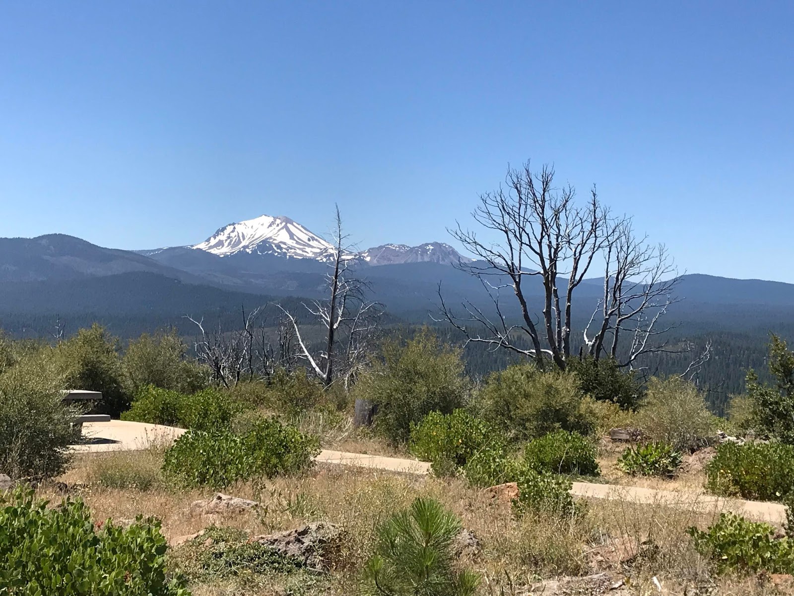
The original plan involved climbing Mt. Lassen. As you can see, there was still quite a bit of snow on the mountain -- in fact the main road through the park (and incidentally to the trailhead) was still closed. While we *could* have embarked on a major crampon-and-ice-axe expedition, we decided there were plenty of other things to fit into the trip, and thus have to save the summit for another time.
We didn't actually get that close to Shasta on the way up, but there was an occasional good viewpoint.

Shasta in the clouds, on the way to Lava Beds.

[Medicine Lake Volcano/Lava Beds pictures saved for another post, since it is a shield volcano rather than a big pointy one.]
We weren't originally going to stop at Crater Lake since it is largely a tourist zoo and the few good trails there hadn't yet been opened due to snow -- but it turned out to be on the shortest route over to a trail we wanted to mountain bike on further north. What you can't tell from this picture is just the sheer number of people and cars everywhere, compounded by all the road work they were still doing to recover from the large amount of snow this winter. Ugh. It did make for a reasonable lunch stop once we found a place to park.

Incidentally, I now really want to climb Mt. Thielson, a dramatic peak just north of Crater Lake. You can apparently see into Crater Lake from the summit as well as views of all the other nearby mountains.
We saw many views of Mt Bachelor and Three Sisters from the area we explored for a few days just south of Bend.

Three Sisters from Paulina Peak/Newberry Crater. (There's a whole post coming about Newberry Crater National Monument -- it is the same sort of lake-filled volcanic caldera as Crater Lake, but with more nooks and crannies to explore and fewer hordes of tourists -- yay!)

As we moved to the area just north of Bend, Mt. Jefferson started to appear seemingly everywhere. I wasn't really aware of this peak before this trip, as this volcano is not really visible from I-5 (the route we always took through Oregon when I was a kid). It is a delightfully pointy stratovolcano :)
from the maze of dirt roads south of Lake Billy Chinook

at the head of the Metolius River

from the Tam-a-Lau trail at Cove Palisades. Note the most excellent columnar basalt in the foreground.

Jefferson isn't the only super-pointy volcano around; Mt. Hood seems quite similar to the untrained eye. (I misidentified Jefferson as Hood from the top of Paulina Peak, only to be corrected by a passer-by -- this is really when I consciously realized that Jefferson existed!)

Of course, once up in WA, we had opportunities to see St. Helens,

Adams,

and Rainier.

On the way back home down I-5, we caught glimpses of most of the peaks. I particularly liked this shot of Shasta out the back window of the truck.

I miss having a pet volcano always on the horizon...
No comments:
Post a Comment